RSS
RSS
Home | Disputed Islands | Shikotan
|
|
|
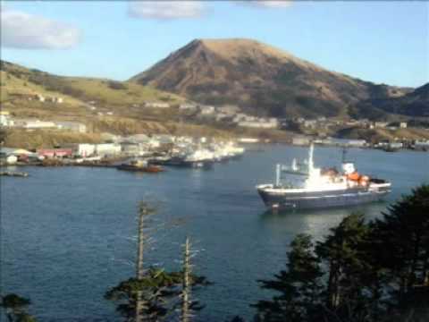
The name of "Shikotan" derives from the Ainu language and means "land with big communities." The total land area of Shikotan is 225 km2. The island is hilly, averaging 300 meters in elevation. The shores of the island are very indented and covered with oceanic meadows. The highest altitude is 412 m. The island is formed by the volcanic rock and sandstone of the Upper Cretaceous and Cenozoic periods. There are two extinct volcanoes on Shikotan: Mount Tomari and Mount Notoro. Shikotan's vegetation consists mostly of Sakhalin fir, larch, deciduous trees, bamboo underbrush and juniper brushwood. There are two settlements: Malokurilskoye (formerly Shikotan or Shakotan) and Krabozavodskoye (formerly Anama). The primary economic activities are fisheries and fishing, with the principal marine products being cod, crab and kelp. An earthquake and subsequent tsunami caused major damage on the island's coastline on October 4, 1994. |